The health of the St. Lucie River and the wider Indian River Lagoon—the lifeblood of Florida’s Treasure Coast—is under constant threat from nutrient pollution. This deluge of nitrogen and phosphorus, primarily from stormwater runoff, fuels the toxic algal blooms that devastate marine life and local economies.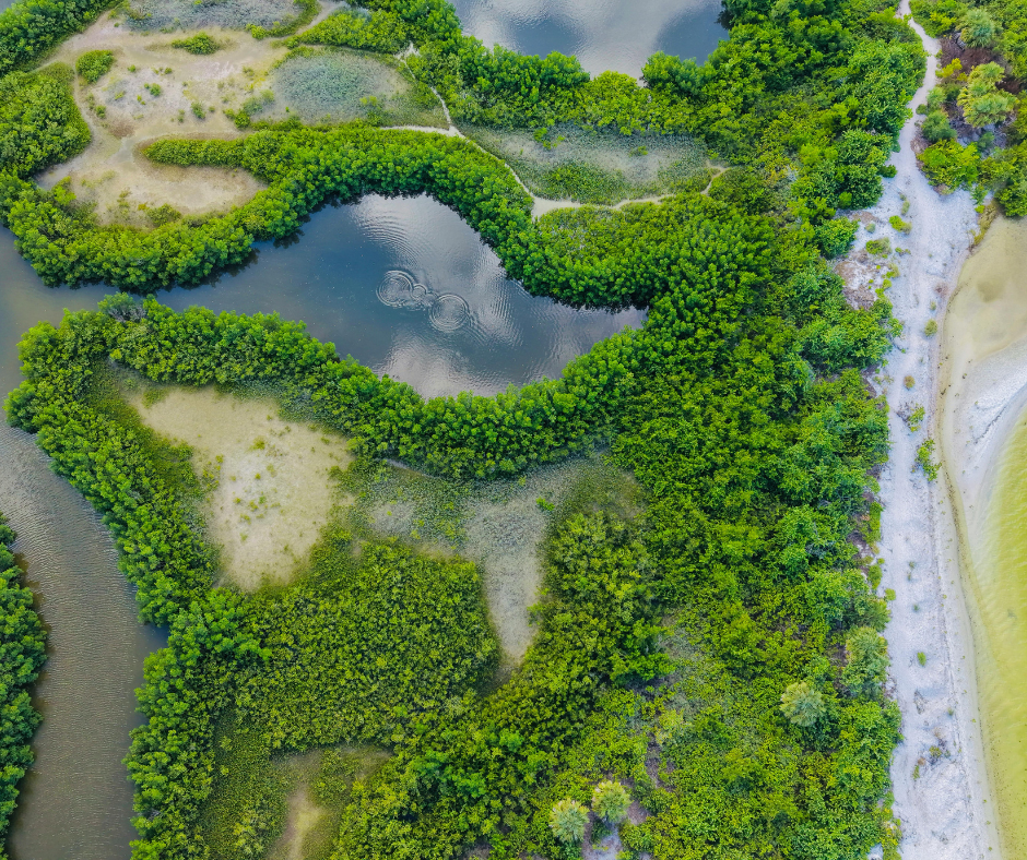
For decades, the source of this pollution has been debated, often pointing fingers solely at large-scale agricultural operations. However, recent advancements in satellite imagery analysis and localized data modeling are revealing a controversial, yet crucial truth: specific residential neighborhoods and developed areas are now identifiable as significant, highly localized contributors to this nutrient load. This data-driven analysis is shifting the focus from general area blame to specific neighborhood accountability along the St. Lucie River, from Stuart to Port St. Lucie.
The Data Revelation: Pinpointing the Localized Hotspots
New technology allows environmental scientists to track water quality parameters with unprecedented precision, merging aerial data with flow models to identify where nutrient-rich water is entering the river and lagoon system.
How Satellite Imagery Tracks Nutrient Pollution:
Chlorophyll Mapping: Satellites detect high concentrations of chlorophyll-a, which is a key indicator of algal growth. Tracking where algal blooms originate can reveal the source of the triggering nutrients.
LIDAR and Drainage: High-resolution digital elevation models (created via LIDAR) map micro-drainage patterns, showing exactly which residential swales, canals, and stormwater management systems feed directly into the main river channel.
Color Analysis (Dissolved Organic Matter): Specific color signatures in the water indicate the presence of high levels of dissolved organic matter (DOM) and suspended solids, which carry phosphorus and nitrogen.
🧪 The Residential Sources of Nutrient Overload
When localized data is applied, certain common residential practices emerge as major contributors to the nutrient overload, particularly in older developments or areas with high homeowner association (HOA) density.
| Residential Source | Primary Nutrient Contribution | Key Remediation Focus |
| Excessive Fertilization | Nitrogen & Phosphorus. Over-application on lawns, especially before rain, leads to direct runoff into storm drains and canals. | Homeowner Education: Enforcing Martin and St. Lucie County fertilizer blackout periods (June–September) and promoting Florida-friendly landscaping. |
| Septic Tanks (Older/Failing) | Nitrogen. Older, unmaintained, or densely clustered septic systems leak effluent directly into the high water table near the river. | Municipal Projects: Prioritizing septic-to-sewer conversions in high-risk zones adjacent to the river, particularly in older Fort Pierce or Stuart neighborhoods. |
| Yard Waste & Grass Clippings | Nitrogen & Organic Carbon. Blowing grass clippings or leaves into the street or directly into storm drains. | Local Ordinances: Strict enforcement against blowing debris into waterways, as decomposing organic matter leaches high levels of nitrogen. |
| Poor Swale Management | Suspended Solids & Phosphorus. Swales (drainage ditches) that are improperly graded or filled with debris lose their ability to filter runoff. | HOA & Municipal Maintenance: Regular swale cleaning and ensuring proper vegetation growth for natural filtration before water reaches the river. |
🎯 Conclusion: Accountability Drives Change
The ability to use satellite data to pinpoint specific St. Lucie River neighborhoods that are disproportionately contributing to nutrient pollution represents a seismic shift in environmental accountability. While major regulatory actions against agricultural sources remain critical, this localized data empowers homeowner associations and municipal utility departments in Martin and St. Lucie Counties to focus resources where they are most effective.
The future health of the Indian River Lagoon depends not only on fixing large-scale problems but also on hyperlocal action. Homeowners, now armed with data that shows the direct impact of their yard care, have the power to reduce the pollution footprint—moving the Treasure Coast toward a healthier, bloom-free future.
#StLucieRiver #IndianRiverLagoon #NutrientPollution #AlgalBloom #TreasureCoast #SatelliteImagery #EnvironmentalAccountability #FortPierce #PortStLucie #FloridaFriendly