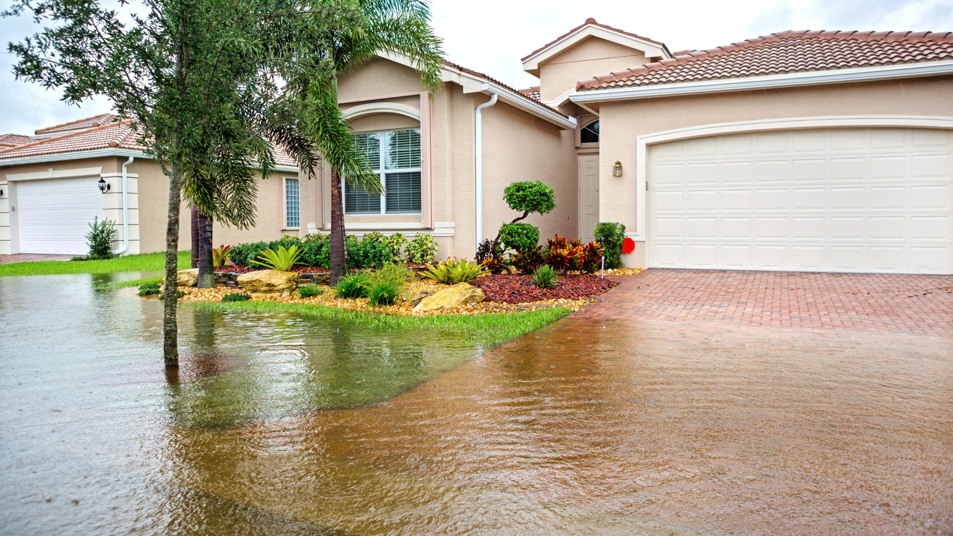
Stuart, Florida, a captivating waterfront haven, offers a dream lifestyle for many. However, with rising sea levels and increasingly frequent storms, flood insurance has become a critical concern for homeowners, especially those with waterfront properties. An elevation certificate, a crucial document, plays a pivotal role in determining flood insurance premiums and can significantly impact the financial well-being of Stuart homeowners.
Understanding the Flood Insurance Landscape in Stuart:
- Rising Premiums: Flood insurance premiums are steadily increasing across Florida, particularly in coastal areas like Stuart. This trend is driven by factors like climate change, increased flood risk, and changes to FEMA’s flood mapping.
- Mandatory Coverage: For homeowners with mortgages in high-risk flood zones (Special Flood Hazard Areas or SFHAs), flood insurance is often mandatory.
- Financial Burden: Rising premiums can place a significant financial burden on homeowners, impacting affordability and property values.
The Role of Elevation Certificates:
- Accurate Flood Risk Assessment: An elevation certificate provides detailed information about a property’s elevation relative to the Base Flood Elevation (BFE) determined by FEMA.
- Premium Determination: Insurance companies use elevation certificate data to assess a property’s flood risk and determine flood insurance premiums.
- Potential for Savings: If a property’s elevation is higher than the BFE, the elevation certificate can demonstrate a lower flood risk, resulting in significant savings on flood insurance.
- Property Improvements: The certificate can show the effect of property improvements made to raise the home.
- Documentation: It serves as official documentation of a properties elevation.
Impact on Stuart Waterfront Properties:
- Increased Scrutiny: Waterfront properties in Stuart are subject to increased scrutiny due to their higher flood risk.
- Premium Variations: Elevation certificates can reveal significant variations in flood risk and premiums even between neighboring waterfront properties.
- Resale Value: Properties with elevation certificates demonstrating lower flood risk are more attractive to buyers, enhancing resale value.
- Development and Renovation: Elevation certificates are essential for obtaining permits for new construction or renovations in flood-prone areas.
- Flood Mitigation: Certificates help show if flood mitigation efforts have been effective.
Key Information Found on an Elevation Certificate:
- Property Location: Details about the property’s address and flood zone.
- Building Characteristics: Information about the building’s foundation, type, and construction.
- Elevation Data: Measurements of the lowest floor, adjacent grade, and other relevant elevations.
- Flood Insurance Rate Map (FIRM) Information: Details about the applicable FIRM and BFE.
Steps for Stuart Homeowners:
- Obtain an Elevation Certificate: Hire a licensed land surveyor or engineer to conduct an elevation survey and prepare the certificate.
- Review Your Flood Insurance Policy: Understand your current coverage and premium.
- Explore Mitigation Options: Consider flood mitigation measures, such as raising your property or installing flood vents, to lower your risk and premiums.
- Consult with Insurance Professionals: Seek advice from insurance agents specializing in flood insurance to explore coverage options and potential discounts.
- Stay Informed: Keep up-to-date with FEMA’s flood mapping and flood insurance regulations.
Benefits of Elevation Certificates for Stuart Waterfront Properties:
- Lower Flood Insurance Premiums: Potential for significant savings.
- Accurate Flood Risk Assessment: Clear understanding of your property’s vulnerability.
- Enhanced Resale Value: Increased marketability and buyer confidence.
- Improved Property Management: Informed decisions about flood mitigation and development.
- Peace of Mind: Confidence in your property’s flood protection.
